
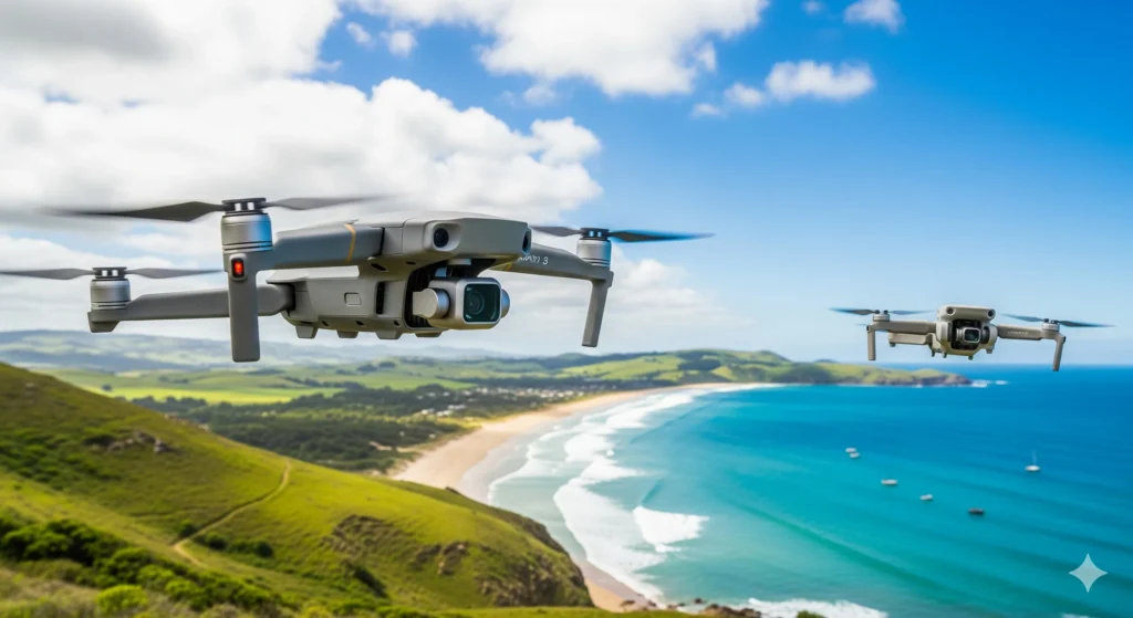
Aerial Photography
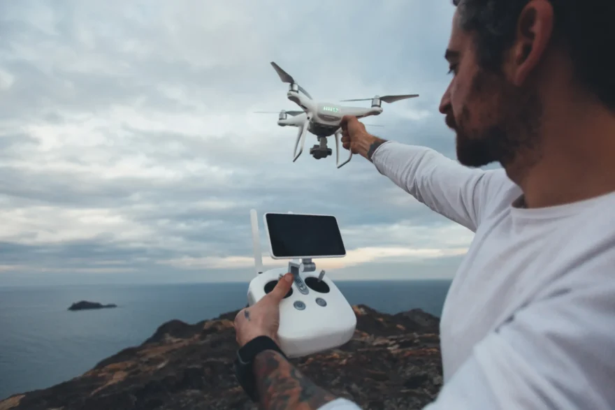
Aerial photography has undergone a massive shift, moving from expensive helicopter charters to accessible, high-resolution drone technology. In addition to this technological leap, whether you are looking at it from a creative, technical, or commercial perspective, here is a breakdown of the current landscape. Furthermore, as the industry grows, it is helpful to see how these tools are used today.
Improve your aerial photography with these tips
Core Applications
Consequently, aerial imagery is no longer just for “pretty pictures”; it’s a vital tool across several industries. For instance:
- Real Estate: Providing a “birds-eye” view of property boundaries, neighborhood context, and proximity to amenities.
- Commercial Marketing: Similarly, it works for capturing scale for resorts, construction projects, or large-scale events.
- Agriculture & Mapping: Moreover, professionals use Photogrammetry to create 3D models or NDVI sensors to check crop health.
- Fine Art: Finally, it allows for capturing abstract patterns in nature, such as salt pans, river deltas, or urban grids.
Technical Essentials for Aerial Photography
In order to get high-quality results, several factors come into play. Specifically, you should consider the following:
1. Lighting and Timing in Aerial Photography
The Golden Hour (shortly after sunrise or before sunset) is even more critical in aerial work. As a result, long shadows add depth and dimension to the ground, preventing the landscape from looking “flat.”
2. Camera Settings for Aerial Photography
- Shutter Speed: Since drones vibrate and move, a high shutter speed (at least $1/500$ or higher) is usually necessary to keep images sharp.
- Aperture: Most consumer drones have a fixed or limited aperture. Thus, staying around $f/2.8$ to $f/5.6$ generally yields the sharpest results.
- Polarizers: Additionally, using a Circular Polarizer (CPL) filter is a game-changer for cutting through haze and reducing reflections.
3. Compositional Techniques for Aerial Photography
- The Top-Down (Bird’s Eye): Pointing the gimbal $90^{\circ}$ straight down to find geometric patterns and symmetry.
- Leading Lines: Likewise, using roads, rivers, or shorelines helps pull the viewer’s eye through the frame.
- Layering: In the same way, including a foreground element like a mountain peak creates a sense of scale.

Safety and Regulation
Flying a camera in the sky comes with responsibility. Therefore, most countries follow a variation of these rules:
- Line of Sight: You must be able to always see the aircraft.
- No-Fly Zones: Similarly, staying away from airports and crowded public events is required.
- Altitude Limits: Often capped at 400 feet (120 meters) to avoid interference with manned aircraft.
CONCLUSION
Finding a new way to see the world from high above is such a fun journey for any photographer. You get to find patterns and shapes that people usually miss when they are standing on the ground. Every flight gives you a chance to try a different angle or find a hidden spot that looks amazing from the sky. It does not matter if you are just starting out or if you have been flying for a long time. There is always something fresh to learn about aerial photography when you look at the earth from a bird’s eye view.
I would love to hear about your own adventures with your camera in the clouds. What is the most beautiful place you have ever filmed from the air? Please share your best stories or any cool tricks you use in the comments below!
Read Next: Top 10 Unbeatable Cameras for Product Photography in 2026